
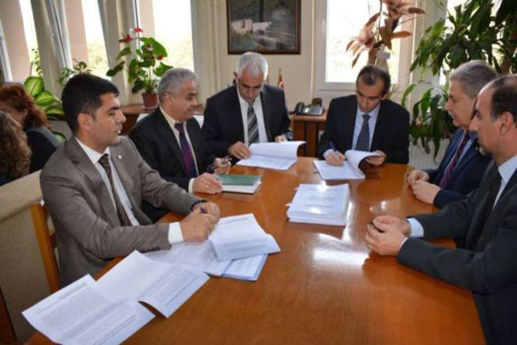
Consultancy Services for Preparation of Great Menderes River Basin Master Plan Study
- Financing : Equity Capital
- Service : River Basin Master Plan, Basin Water Management
- Employer : State Hydraulic Works, 21st Regional Directorate
- Project Duration : 2013 - 2018
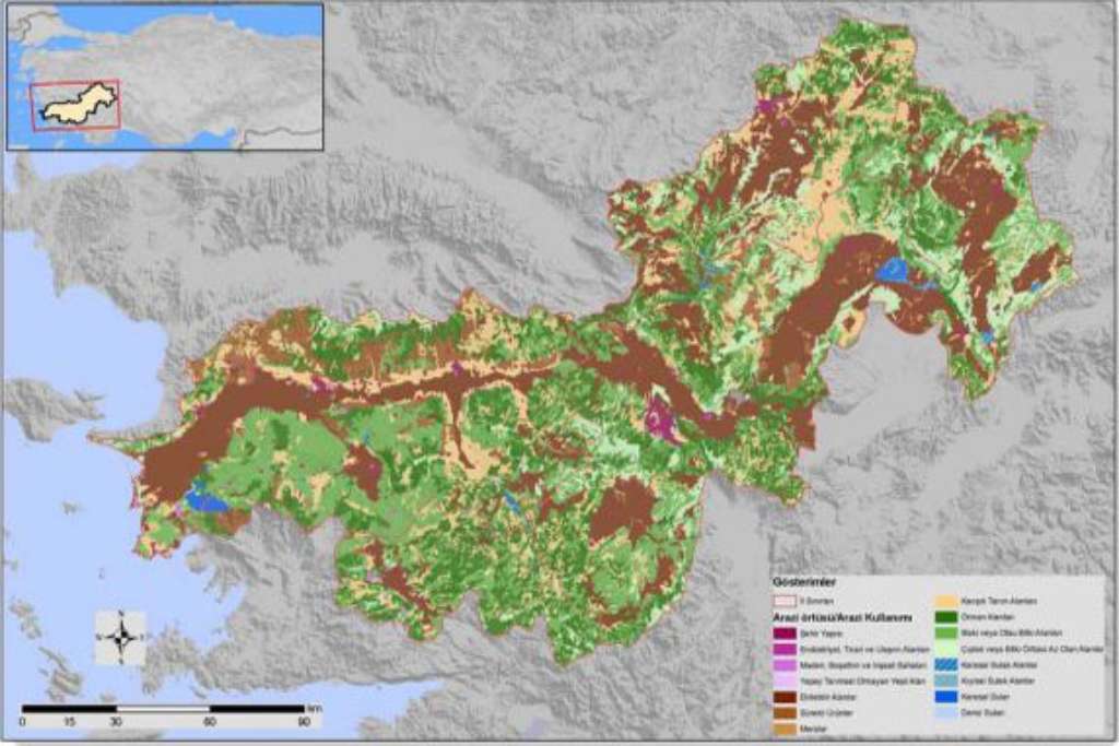
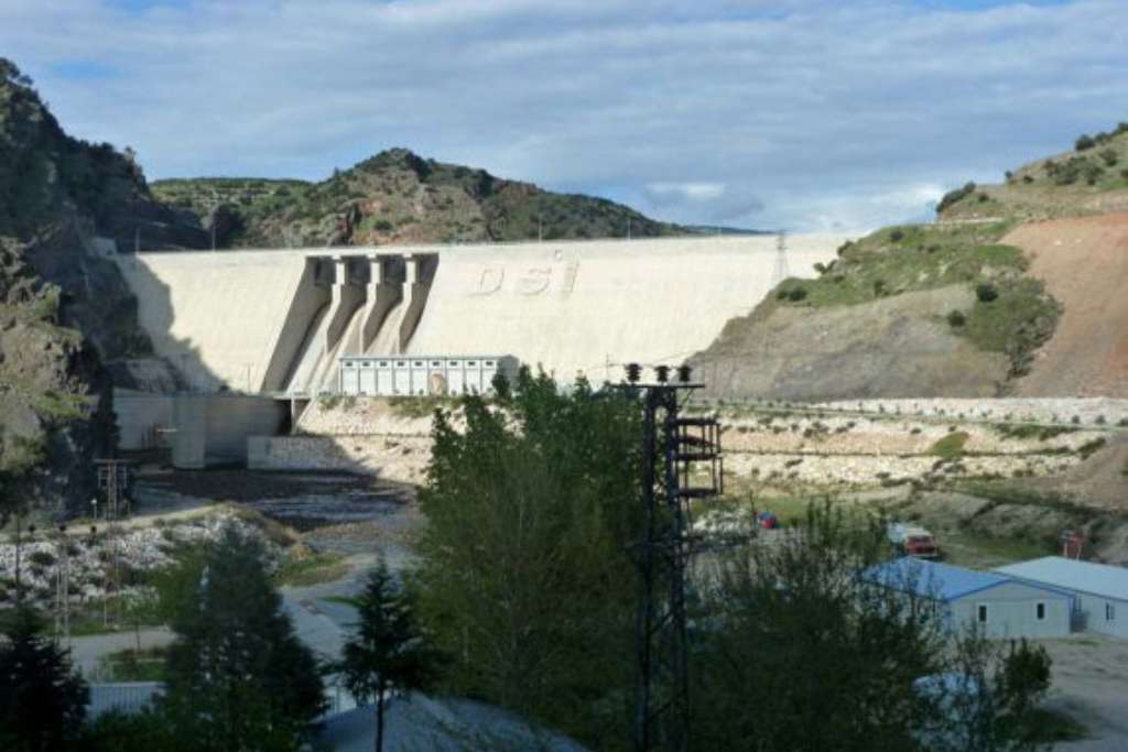
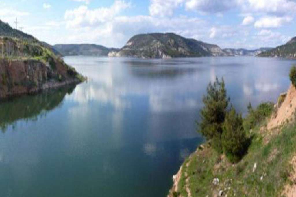
Great Menderes Basin Master Plan works are carried out in the Denizli, Aydın and Uşak provincial areas. These areas correspond to about 26.010 hectares and 2.5 million inhabitants for the target year 2067. The study covered the analysis of drinking and industrial water needs, water rights determination, land use, determination of irrigation need and its potential, and identification of irrigation alternatives for irrigation areas. It also considered irrigated agriculture if technically and economically feasible, determination of agricultural areas with insufficient drainage and development of suitable measures, analysis of water use for potable water, irrigation and energy production. The study assessed water resources for dams, regulators, tunnels, wells, galleries, irrigation, and drainage and overflows plants in order to reduce flood risks and proposed the construction of those infrastructure investments that are environmentally and economically viable.
Services provided by ALTER;
Collection of data, topographical and geotechnical surveys,
- Identification of basin boundaries, monitoring flow observation and hydrometeorological stations,
- Preparation of environmental assessment report,
- Development of preliminary and final reports for basin hydrology and hydrogeology considering climate change,
- Analysis of land classification and drainage in the basin,
- Preparation of preliminary and final reports for basin water consumption (drinking, potable, irrigational, industrial and commercial, and natural flow etc.),
- Assessment of agricultural economy in the basin,
- Preparation of basin land classification and drainage preliminary and final reports,
- Evaluation of flood and sediment control,
- GIS Mapping (1/25000 scale) and recommendations for prevention of flood risks and soil erosion,
- Work progress reports, and
- Basin Master Plan Study Report.