
Mapping and Hydraulic Modelling of Gaziantep Water Supply Network
- Financing : Equity Capital
- Service : Reducing Non-Revenue Water
- Employer : General Directorate of Gaziantep Water and Sewerage Administration - GASKİ
- Project Duration : 2011 - 2016
Services are being provided for;
- Identification and mapping of pipes and armatures for 2300 km water supply network with diameters ranging from Ø1400 mm toØ80 mm
- GIS establishment within GASKI, transferring of network map to GIS environment
- Calibrated Hydraulic modeling with the help of SCADA system records and 'pilot' area studies
- Identification of pressure zones and creating DMAs for loss/leakage reduction, and identification of priority investments
- After hydraulic modeling works, with respect to resulting outcomes of the DMA’s 300km. detailed design of water supply network rehabilitation projects are prepared for GASKİ.
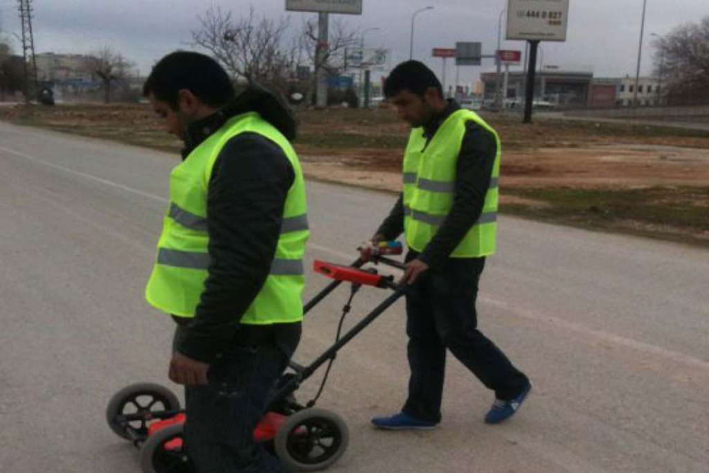
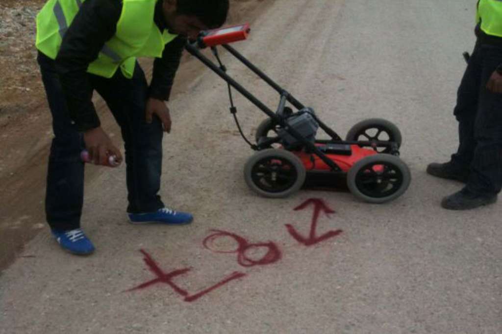
- Pipes on the field are detected with utility locators and Geo radars.
- Detected pipes are digitized accurately and mapped in accordance with the GIS of the administration.
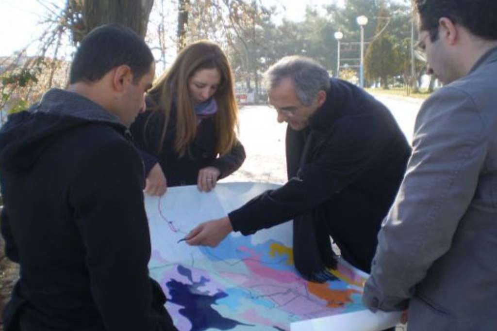
- With the data collected from the field, pressure zones are rehabilitated.
- With the digitized GIS data, hydraulic models of the network are formed and DMAs are defined for the whole network
- DMAs are defined according to the newest legal regulations that aim to minimize leakage
- Pressure and flow measurements are carried out on various locations of the network to perform a basic calibration study.
- SCADA measurements and customer database are integrated to calculate an annual water budget according to the AWWA Standards.
Services provided by ALTER;
- Mapping of collected network data,
- Pressure zone rehabilitation,
- DMA design,
- Hydraulic modeling of the 2.300km network,
- Detailed design for 300km water network